
Full-scale 3D modelling, design, calculations, geomatics services and spatial solutions, and more
CAD, GIS, and BIM Service
Transform Your Projects with Digital Modelling and Visualisation
Make better decisions with data-driven insights, see your project before it's built, and communicate your vision like never before. Explore our comprehensive survey solutions, full-scale CAD services, high quality digital twins, wide-range GIS applications, and many more. We provide highly accurate and customised spatial solutions for every need.
BIM is an approach to designing, constructing, and managing buildings or infrastructure projects using digital models and comprehensive data. It involves creating a virtual representation of a project that incorporates not only 3D geometry but also additional information about the building components, materials, properties, and relationships. BIM models are data-rich and allow for greater collaboration, coordination, and analysis throughout your entire project's lifecycle, from design and construction to operation and maintenance.
Every physical object on your site can be measured and modelled, providing valuable resources for your future design tasks. We create a 3D model from an accurate point cloud collected by our laser scanning team. With this digital twin as a foundation, we can generate traditional drawings in various sections and views, and in any required formats to meet your specific needs. This process eliminates the need for intermediary steps, as you can access the comprehensive model containing all relevant data using popular CAD software.
TopoCrew adheres to international BIM standards, and we offer professional support in implementing the BIM perspective and managing BIM processes within your workflows. We also assist in preparing your technical infrastructure for such implementations.
Building Information Modelling (BIM)

Clash detection is a fundamental and widely recognised tool in BIM management. It involves a continuous feedback process during the design phase, where your designs are merged, and elements that occupy the same location, resulting in clashes, are identified and documented by our BIM team.
Clash detection is not a one-time analysis but an ongoing process aimed at systematically resolving all clashes. Each design modification introduces the potential for new errors, which is why engineers benefit from having as much information as possible before implementing changes. In addition to identifying clashes, every IFC file and analysis conducted is thoroughly documented, facilitating process monitoring.
As part of the clash reduction process, our BIM management team serves as a central communication hub for your design teams, promoting efficient problem-solving through online meetings.
Clash Detection


Welcome to the cutting-edge world of TopoCrew's CAD team, where innovation meets precision. Our team of skilled professionals ensure your transformative experience in visualising, analysing, and documenting your projects with unparalleled expertise.
Measured Building Surveys (MBS)
Our MBS surveys are a comprehensive package, including floor plans, elevations, cross-sections, and optionally, 3D models. All data is meticulously collected during our survey, ensuring precision in every detail.
Quantity Takeoff
Accurate project cost determination is a must, and our precise quantity take-off services provide the foundation for this. Through in-depth analysis of CAD drawings, we deliver a detailed quantities table, ensuring you have exact knowledge of the building materials required.
Cut and Fill Drawings, Volumetric Calculations
Gain insight into your groundworks or surfacing project with our cut and fill drawings. By comparing existing and designed surfaces, we provide precise volumetric calculations, effortlessly guiding you through cut and fill operations.
As-Built Drawings
Based on site surveys, construction notes, and photographs, our team crafts detailed as-built drawings. Ranging from simple representations to intricate comparative drawings, our goal is to ensure accurate documentation of your project's evolution.
3D CAD Modelling
Experience the next level of design with our CAD-based 3D modeling services. Using CAD objects like 3D points, strings, and faces, we construct a highly accurate, consistent triangulated digital terrain model. Seamlessly import this model into popular 3D design software applications for a dynamic and immersive experience.

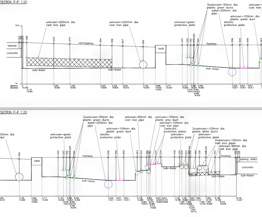
2D/3D CAD Works, Drawings, Calculations, and Modelling

With GIS, we can help you capture, store, analyse, manage, and present spatial or geographic data. We offer a wide range of services and solutions to make a bridge between CAD and GIS by fluently transferring information from surveys to databases. This can be highly valuable when your project involves spatial analysis, data integration, site selection, urban and infrastructure planning, and much more.
From small scale to large scale, vector, raster, point cloud, excel sheet, or a database – it doesn’t matter what type of data you have, we will provide you with the result you need. We also offer a full range of services including surveys, extraction, clarification, and transformation – everything in one place.
Geographic Information System (GIS)


